
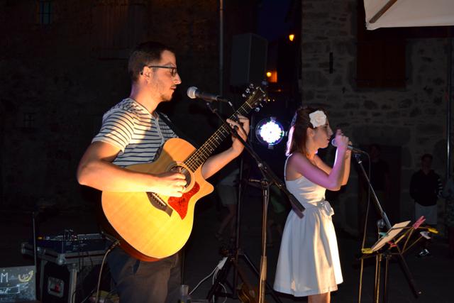
TOP 5
Walk « Au fil de la Vallée du Gijou »

TOP 5
Une Idée Rando

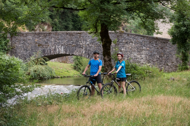
TOP 5
Cool off by streams and rivers
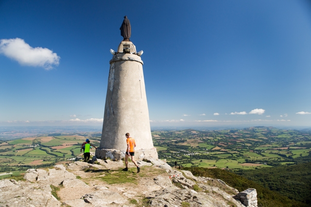
TOP 5
Take to the heights at Montalet!


Come and discover
The ” Monts & Lacs en Haut Languedoc”
Located on the height of land dividing the watershed area, four lakes make blue spots among the green landscape. A great site for hiking, mountain biking or horse riding. Forests, heathland and bocage, St jacques de Compostelle road but also outbreathing views from the Caroux “the mountain of light”. A land of mystery with the menhir-statues. Here you may as well as go fishing or meet a rich cultural and gastronomic heritage that you can discover in our museums or during visits of farms.
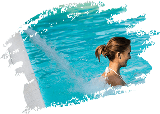
Looking for
Wellness
Come and have a rest in one of our wellness centre
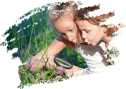
For
kids
You come with your family ? Discover visits and activities suitable for children.
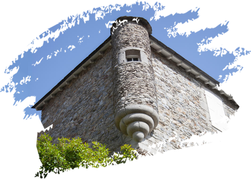
our
villages
Fond of old stones and pretty walks, discover our charming villages
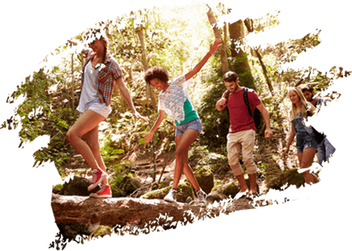
For
groups
Many activities for everyone !
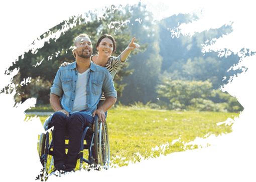
tourism and
handicap
Labellised "Tourisme et Handicap", our tourist information center offers fitted services


A trip up to you !
Come and discover the “Monts et Lacs en Haut Languedoc”
Find an accomodation
Have a stay in the ” Monts et Lacs en Haut Languedoc”
Look at available accomodation


