
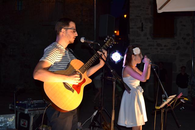
Festivities !!!
Festivities !!!
Festivities !!!
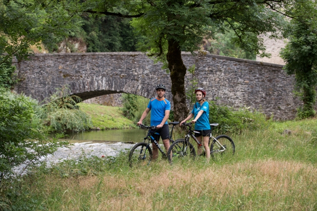
From Lacaune via Gijounet and Viane. A 30 km interpretation trail running along the Gijou valley, a Natura 2000 classified site. Signs will allow you to discover the environmental riches of this site (30 linear km).
Brochure available at the Lacaune tourist information office.
From Lacaune via Gijounet and Viane. A 30 km interpretation trail running along the Gijou valley, a Natura 2000 classified site. Signs will allow you to discover the environmental riches of this site (30 linear km).
Brochure available at the Lacaune tourist information office.
From Lacaune via Gijounet and Viane. A 30 km interpretation trail running along the Gijou valley, a Natura 2000 classified site. Signs will allow you to discover the environmental riches of this site (30 linear km).
Brochure available at the Lacaune tourist information office.
Depuis Lacaune en passant par Gijounet et Viane. Un chemin d’interprétation de 30 km longeant la vallée du Gijou, site classé Natura 2000. Des panneaux vous permettront de découvrir les richesses environnementales de ce site (30 km linéaire).
Brochure disponible au bureau d’information touristique de Lacaune.

The hike "La Lauze", La Salvetat-sur-Agout
This pleasant forest circuit, which dominates La Salvetat-sur-Agout - a stopover town on the road to Saint-Jacques-de-Compostelle - allows you to tour the Lauze, on the foothills of Somail.
Sheet on sale in our Tourist Information Offices
The hike "La Lauze", La Salvetat-sur-Agout
This pleasant forest circuit, which dominates La Salvetat-sur-Agout - a stopover town on the road to Saint-Jacques-de-Compostelle - allows you to tour the Lauze, on the foothills of Somail.
Sheet on sale in our Tourist Information Offices
The hike "La Lauze", La Salvetat-sur-Agout
This pleasant forest circuit, which dominates La Salvetat-sur-Agout - a stopover town on the road to Saint-Jacques-de-Compostelle - allows you to tour the Lauze, on the foothills of Somail.
Sheet on sale in our Tourist Information Offices

Vous cherchez la fraîcheur ? En plus des forêts et des lacs, vous pouvez profiter du bon air aux bords des ruisseaux et rivières de la destination !! et l'eau y est bien fraîche !! 💦💦💦
Vous cherchez la fraîcheur ? En plus des forêts et des lacs, vous pouvez profiter du bon air aux bords des ruisseaux et rivières de la destination !! et l'eau y est bien fraîche !! 💦💦💦
Looking for freshness? In addition to the forests and lakes, you can enjoy the fresh air at the banks of the streams and rivers of the destination!! and the water is very cool !! 💦💦💦
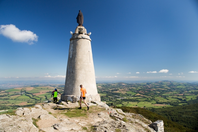
Take to the heights at Montalet!
And enjoy a 360 ° view!
Montalet, at 1,259 meters above sea level, is the highest peak in the Tarn ..
And enjoy a 360 ° view!
Montalet, at 1,259 meters above sea level, is the highest peak in the Tarn ..
And enjoy a 360 ° view!
Montalet, at 1,259 meters above sea level, is the highest peak in the Tarn ..


